-
Aerosol Optical Depth

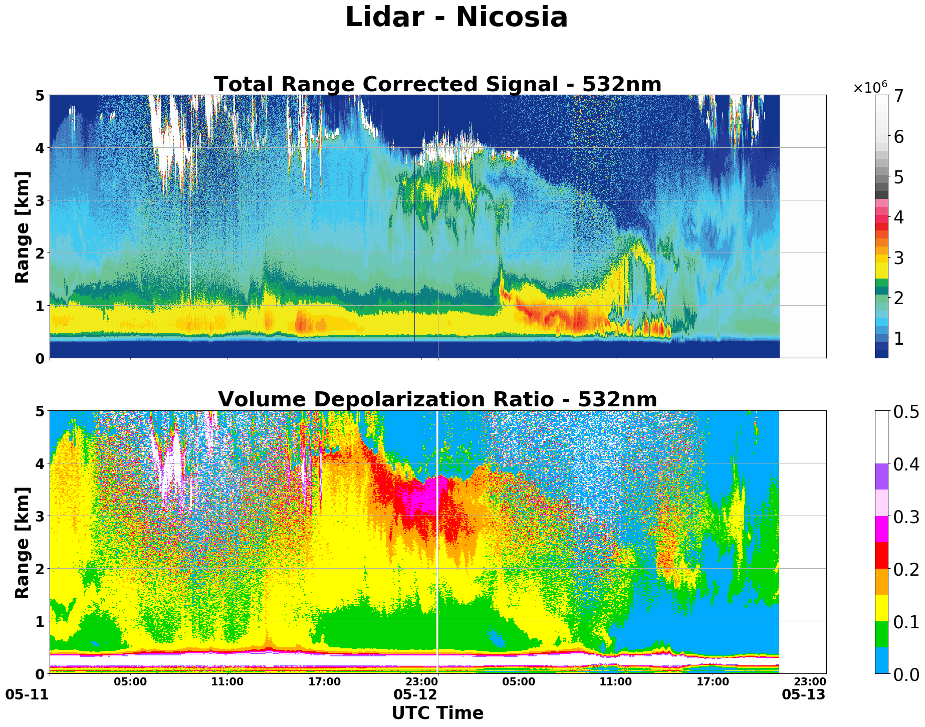
Lidar 13 km

Lidar 5 km
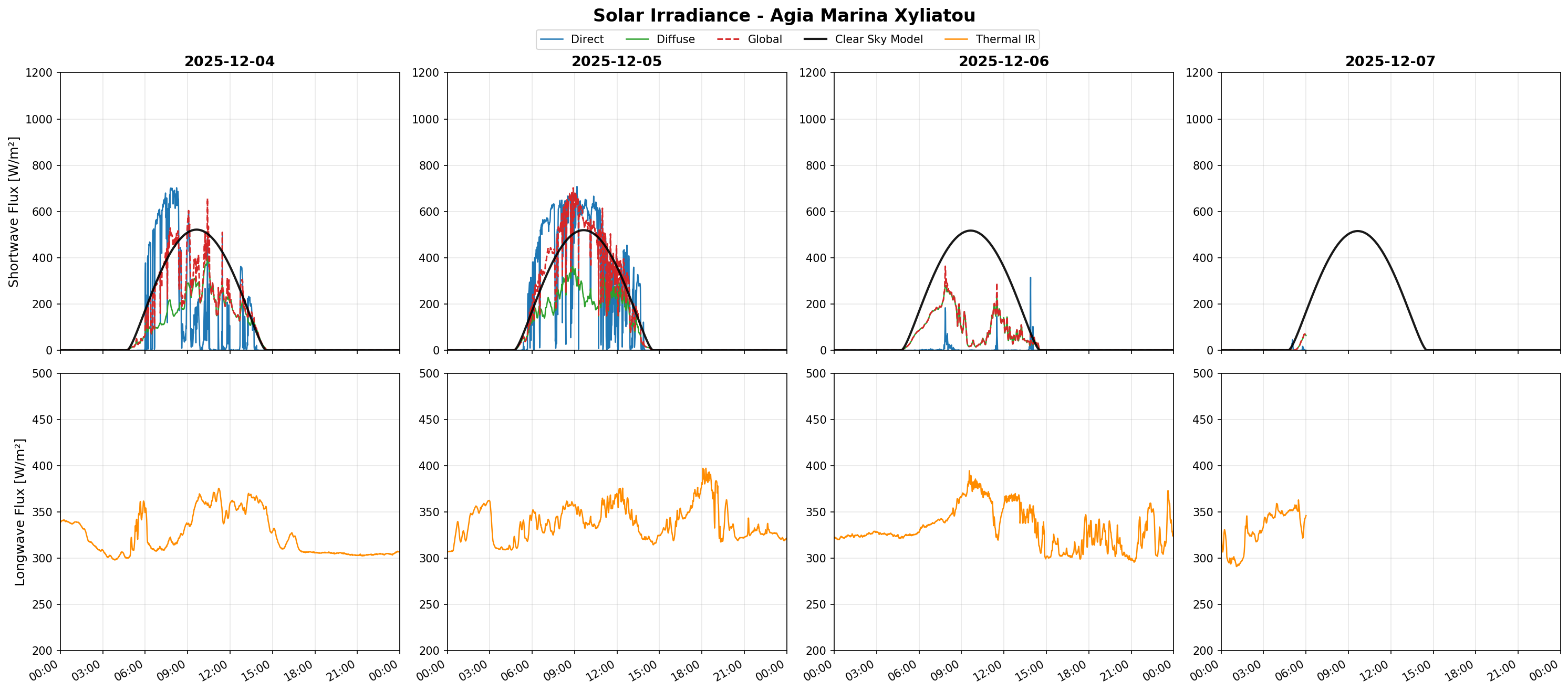
Solar Fluxes
-
Remote sensing observations permit characterising the upper atmosphere over Cyprus, complementing in-situ station measurements that represent only surface-level air. These observations rely on optical methods capable of probing different parts of the atmosphere: sunphotometers capture the entire atmospheric column, lidars and ceilometers provide vertical profiles, and flux meters measure solar and infrared radiation.
Sensing the upper air permits understanding how pollutants encountered at the surface are mixed within the Planetary Boundary Layer (PBL) and allows the identification of long-range transport of atmospheric constituents, often occurring above the PBL (for example: dust from the Sahara and the Middle East, which is frequently observed during spring and autumn).
The data shown here cover the stations we operate across Cyprus. This page is a work in progress; currently, it displays plots from a limited number of instruments, but we aim to include visualizations for all instruments in the future.
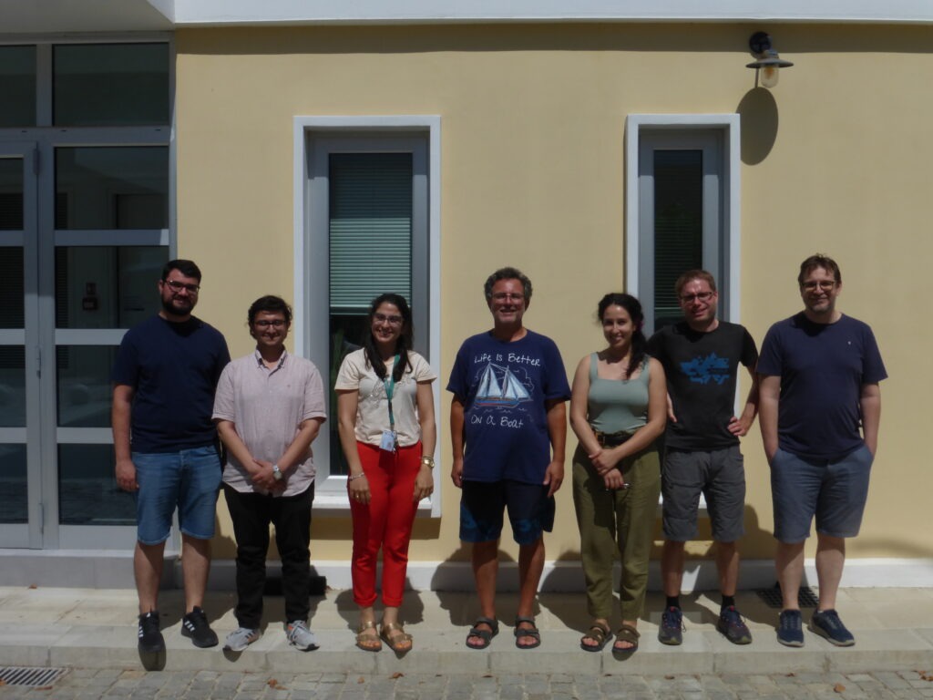
These observations are provided by the CARE-C remote sensing team, whose mission is to study the upper atmosphere, with a particular focus on monitoring transported dust. A photo of the team is shown to the right of this text